In the field of modern engineering monitoring, surface settlement and displacement monitoring instruments, with their high-precision measurement capabilities, have become important tools for ensuring engineering safety and preventing geological disasters. The integration of GNSS (Global Navigation Satellite System) positioning technology has brought revolutionary changes to this field.
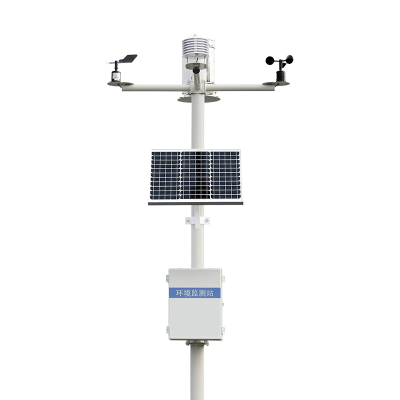
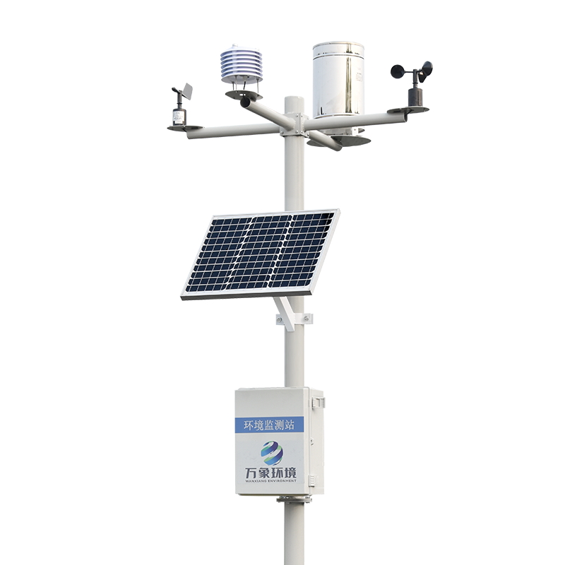
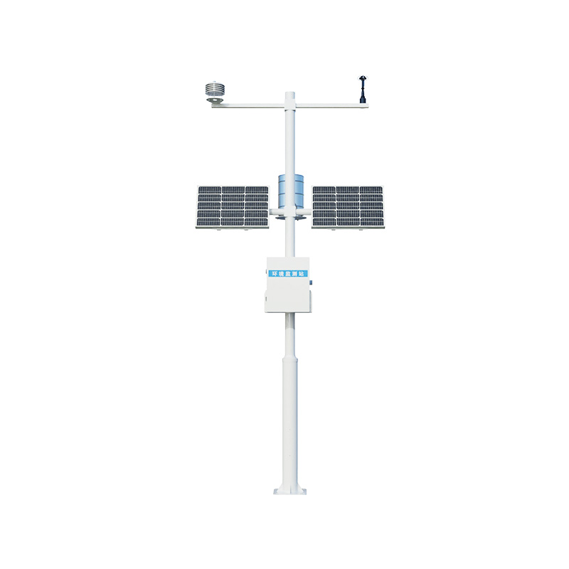
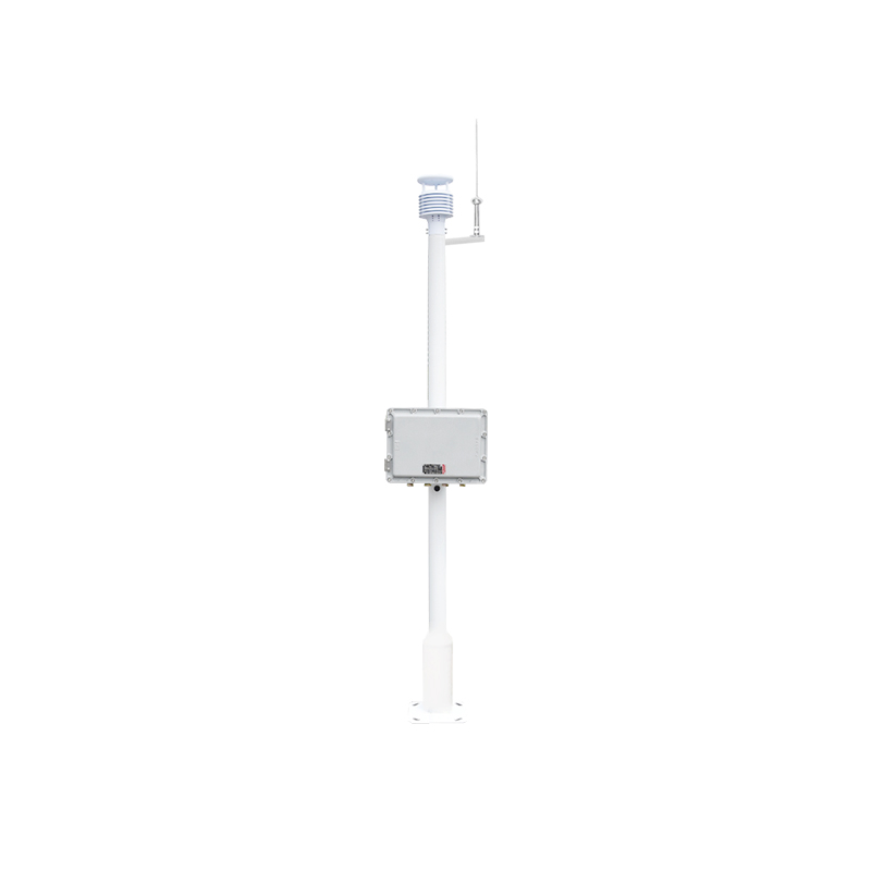
The WX-WY1 surface settlement and displacement monitor is mainly used to monitor the settlement and displacement of the ground surface or building surface. It plays a crucial role in fields such as geological disaster prevention, construction safety, and building health monitoring. Through continuous and precise monitoring, this instrument can promptly detect and warn of potential settlement or displacement risks, providing scientific basis for decision-makers and effectively avoiding or reducing disaster losses.
Its working principle is based on advanced sensing technology and data processing algorithms. Sensors are responsible for capturing the minute changes on the ground surface or the surface of buildings, while data processing algorithms precisely analyze these changes and ultimately obtain accurate data on settlement or displacement. These data are of great significance for assessing the safety status of engineering projects and predicting the development trend of disasters.
When GNSS is combined with a surface settlement displacement monitor, the high-precision positioning capability of GNSS can be utilized to conduct real-time and continuous displacement monitoring of the monitoring points. This combination not only enhances the accuracy and stability of monitoring, but also significantly simplifies the monitoring process and reduces labor costs.
The advantage of technological integration lies in its ability to monitor minute changes in engineering structures or the surface in real time and promptly identify potential safety hazards. Meanwhile, the global coverage of GNSS positioning technology enables monitoring to be unrestricted by geographical boundaries, allowing for precise monitoring in both urban and remote areas. This is of great significance for improving the efficiency and accuracy of engineering monitoring.

Article address:
http://www.0757gl.com/en/newcen/1586.html


 Home
Home phone
phone Product Overview
 Contact Us