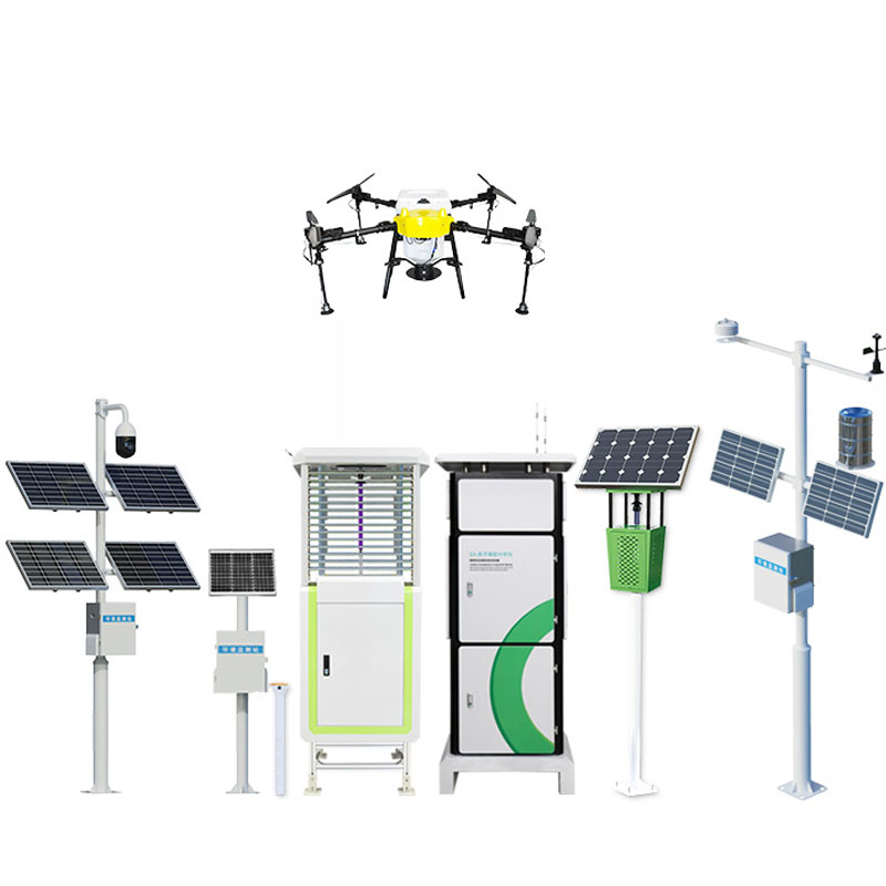
Nowadays, with frequent geological disasters, how to accurately and timely monitor and warn geological disasters has become an important issue to protect people's life and property safety. Geological disaster monitor, as an outstanding application of modern science and technology in the field of disaster prevention and reduction, is providing strong support for the prevention and control of geological disasters with its high-precision and real-time monitoring characteristics. Among them, the geological hazard monitor using the Global Navigation satellite system (GNSS) technology to monitor the small displacement has become a leader in the field of geological hazard monitoring with its excellent performance.
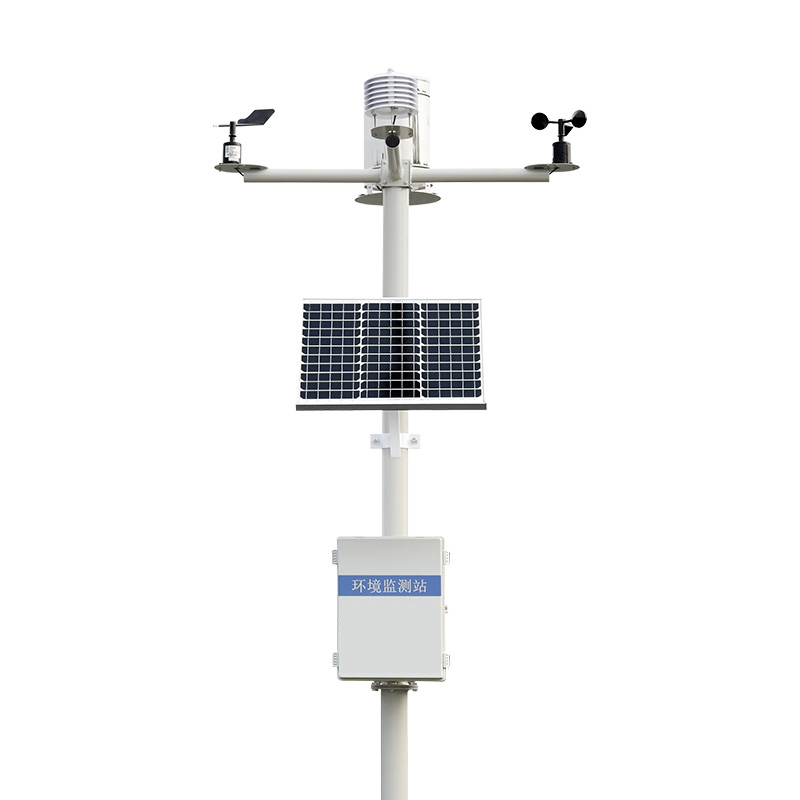
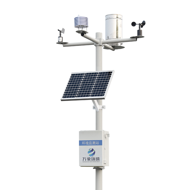
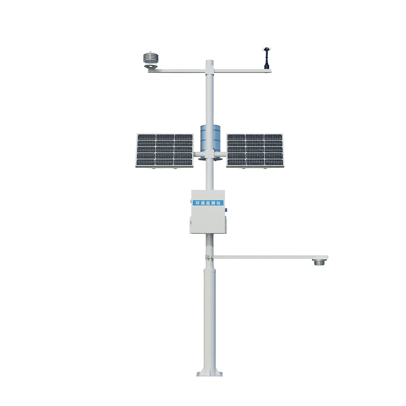
In geological hazard monitoring, GNSS technology is widely used to monitor the small displacement changes of the surface. By placing GNSS receivers in geodisaster-prone areas, satellite signals can be received and processed in real time to accurately measure the three-dimensional coordinates of ground points, including longitude, latitude and elevation.
The occurrence of geological disasters is often accompanied by the change of small displacement of the surface. These shifts may be difficult to detect with the naked eye, but GNSS technology can accurately capture them. Through continuous tracking observations, combined with high-precision data processing technology, the WX-WY1 geological hazard monitor is able to detect small amounts of displacement at surface points, and can even reach millimeter-level or sub-millimeter-level accuracy. This high-precision monitoring capability enables us to detect the precursor of geological disasters in time, and gain valuable time for early warning and prevention work.
In areas prone to geological disasters such as mountains and river banks, GNSS geological hazard monitors play a vital role. It can not only monitor the precursors of disasters such as landslides, debris flows, and ground collapses in real time, but also predict the development trend and possible impact scope of disasters through data analysis. These data and information provide a scientific basis for disaster early warning, emergency response and post-disaster reconstruction, and greatly improve the accuracy and effectiveness of geological disaster prevention and control.
In addition, the GNSS geological hazard monitor also has the characteristics of all-weather, real-time monitoring. It is not limited by natural conditions such as weather and terrain, and can be monitored all weather and without interruption. This real-time monitoring capability enables us to grasp the latest developments of geological disasters in time, and provide timely and accurate information support for disaster prevention and control and emergency response.

Article address:
http://www.0757gl.com/en/newcen/1359.html


 Home
Home phone
phone Product Overview
 Contact Us