In nature, rivers and lakes are like the blood of the earth, nourishing all living things and carrying the reproduction and survival of human civilization. However, fluctuations in water levels, whether due to seasonal changes or extreme weather, can have a significant impact on the livelihood of coastal residents, agricultural production and even the ecological environment. Therefore, how to monitor water level changes efficiently and accurately has become an important issue to be solved urgently in modern society. Today, let's go into the world of radar water level monitoring stations and explore how it uses the power of technology to build a solid security line for rivers and lakes.
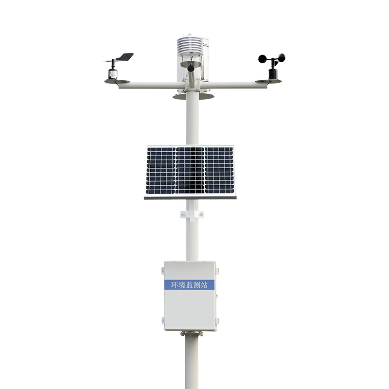
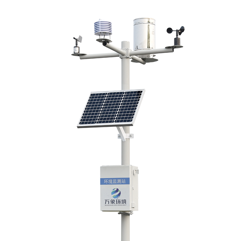
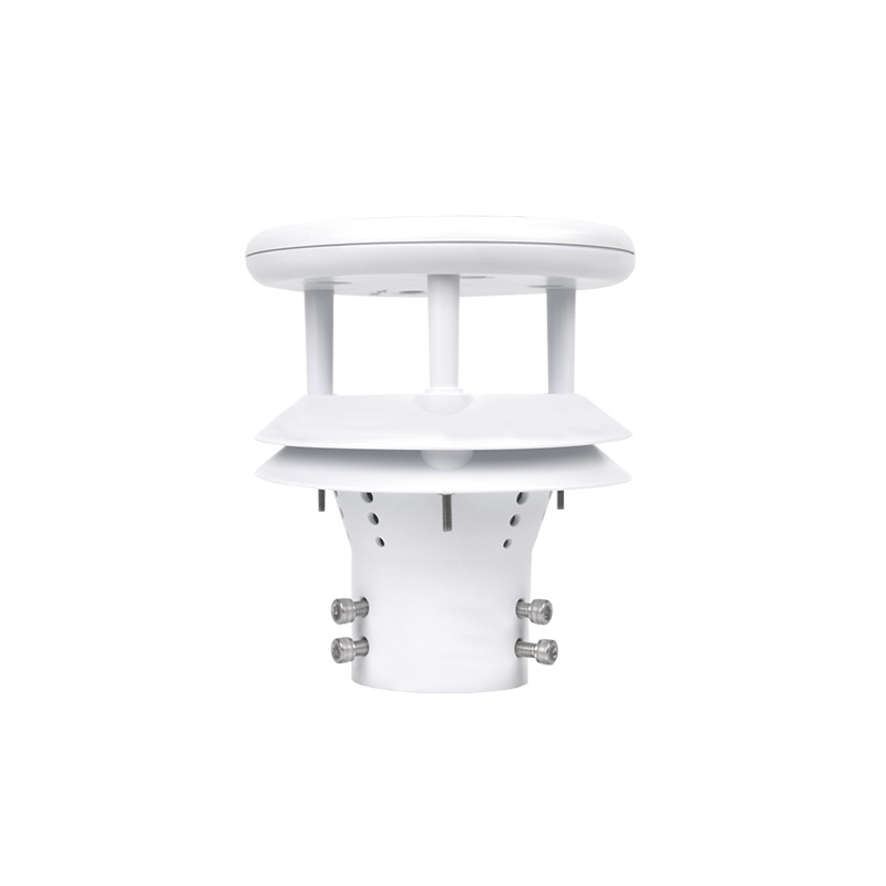
WX-LDSW01 radar water level monitoring station, as a leader in modern hydrological monitoring technology, stands out among many water level monitoring means by virtue of its non-contact measurement, high precision and all-weather operation characteristics. It uses the principle of radar wave transmission and reception, by measuring the time difference of radar wave from transmitting to reflecting back to the receiving antenna by the water surface, combined with the wave speed to calculate the distance of the water surface, and then get the real-time water level data. This process requires no human intervention and is independent of water quality, sediment content and weather conditions, ensuring data accuracy and continuity.
In today's frequent natural disasters, the real-time performance of radar water level monitoring station is particularly important. It can capture the changing trend of water level in the first time, whether it is rising or falling, and can quickly feedback the data to the relevant departments, providing scientific basis for flood control and drought relief, water resource scheduling and other decisions. At the same time, combined with big data analysis technology, it can also predict the future trend of water level change, advance warning for possible disasters, minimize losses, and ensure the safety of people's lives and property.
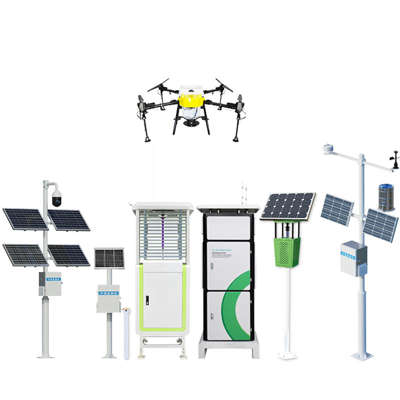
The applications of radar water level monitoring stations go far beyond that. It plays an indispensable role in many fields such as urban flood control and drainage, reservoir management, waterway navigation, and water resources protection. Through the construction of a smart water conservancy system, radar water level monitoring stations are combined with other sensors, unmanned aerial vehicles, satellite remote sensing and other technologies to form a comprehensive, three-dimensional monitoring network to achieve fine management and efficient use of water resources. This not only improves the intelligent level of water management, but also provides strong support for promoting green development and promoting the construction of ecological civilization.

Article address:
http://www.0757gl.com/en/newcen/1134.html


 Home
Home phone
phone Product Overview
 Contact Us