From smartphones to smart homes to huge infrastructure, there is nothing that demonstrates the power of technology. On the battlefield of protecting national security, urban security and even the stability of the natural environment, a technology called GNSS monitoring stations is quietly playing an invaluable role.
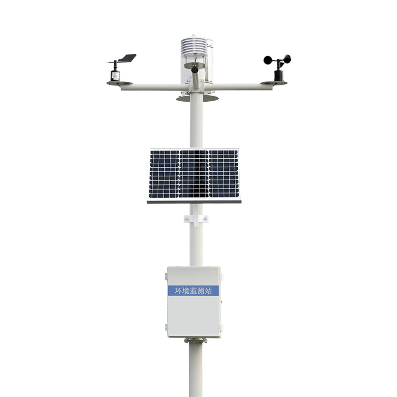
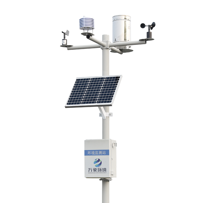
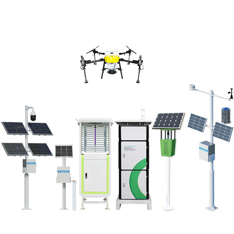
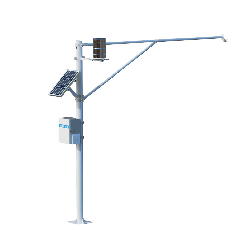
The WX-WY1GNSS monitoring station utilizes the high-precision positioning capability of global navigation satellite systems (such as GPS, Beidou, etc.) to carry out continuous, automatic and high-precision deformation monitoring of surface and underground structures. Like an indefatigable "eye of science and technology", it can capture millimeter-level or even more subtle ground deformation, providing a strong technical support for geological disaster warning, building structure safety assessment, bridge and tunnel health monitoring and other fields.
In areas with frequent geological disasters, natural disasters such as landslides and land subsidence often bring great threats to people's life and property safety. GNSS monitoring stations can predict potential risk areas in advance through real-time monitoring of small deformation in key areas such as mountains and slopes, combined with big data analysis, and provide valuable early warning information for relevant departments, so as to effectively reduce disaster losses and truly prevent problems before they occur.
In urban planning, GNSS monitoring stations are used to monitor the deformation of infrastructure such as tall buildings, Bridges and tunnels to ensure the safety and stability of these "urban backbones". At the same time, for underground projects such as subway construction and underground pipe gallery construction, the system can also effectively monitor the impact of construction on the surrounding environment and ensure construction safety.
In areas prone to geological disasters such as mountainous areas and mining areas, GNSS monitoring stations have become "sentinels" for geological disaster early warning, providing scientific basis for government decision-making, helping local residents to evacuate in time, and reducing disaster losses.
In the field of agriculture, the system can be used to monitor soil moisture and terrain changes, and provide data support for precision agriculture and soil and water conservation. In water resources management, it can be used to monitor the stability of water conservancy facilities such as reservoir DAMS and river embankments to ensure water resources security.

Article address:
http://www.0757gl.com/en/article/1204.html


 Home
Home phone
phone Product Overview
 Contact Us